Limestone Link
Welcome to Limestone Link!
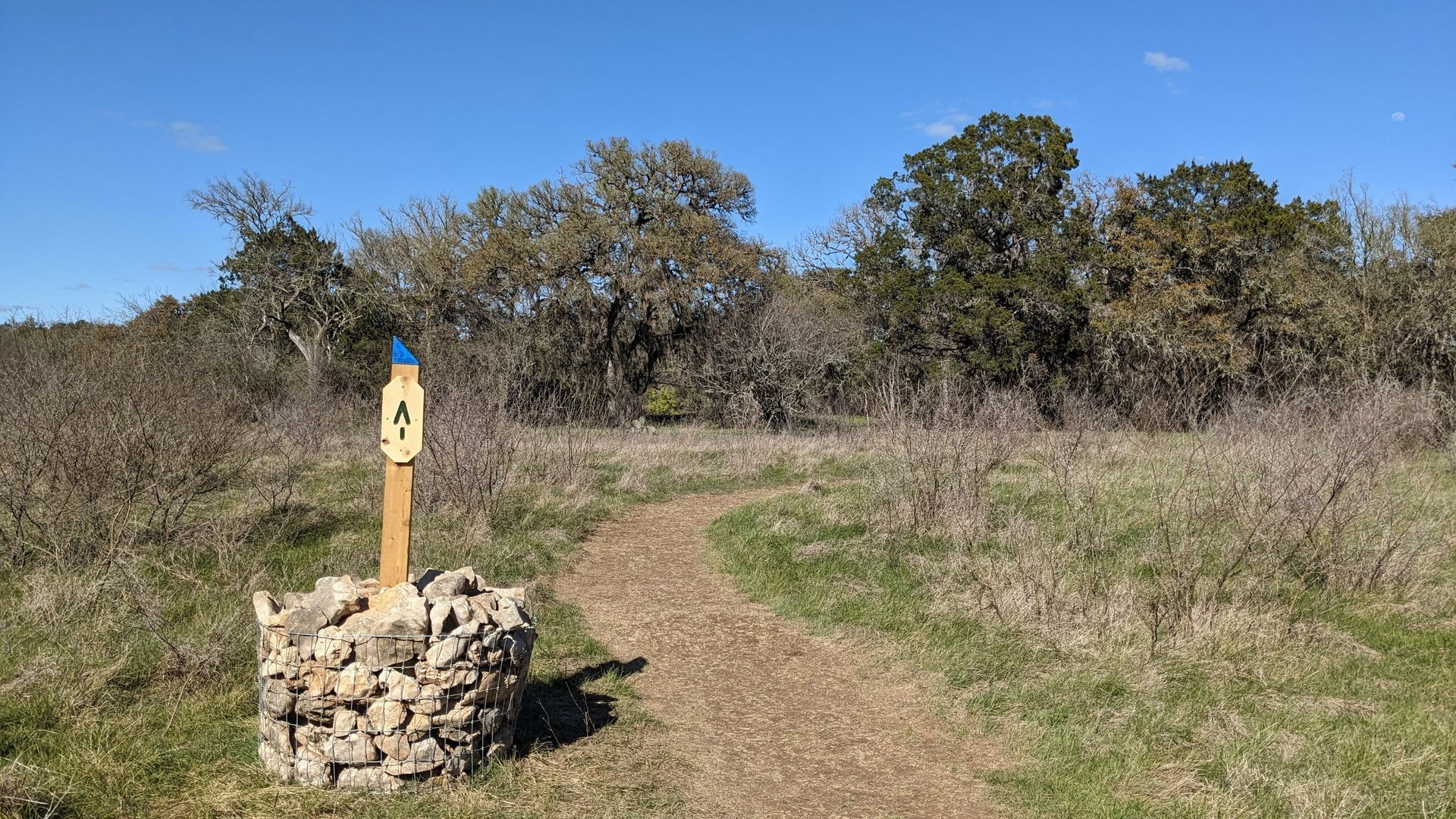
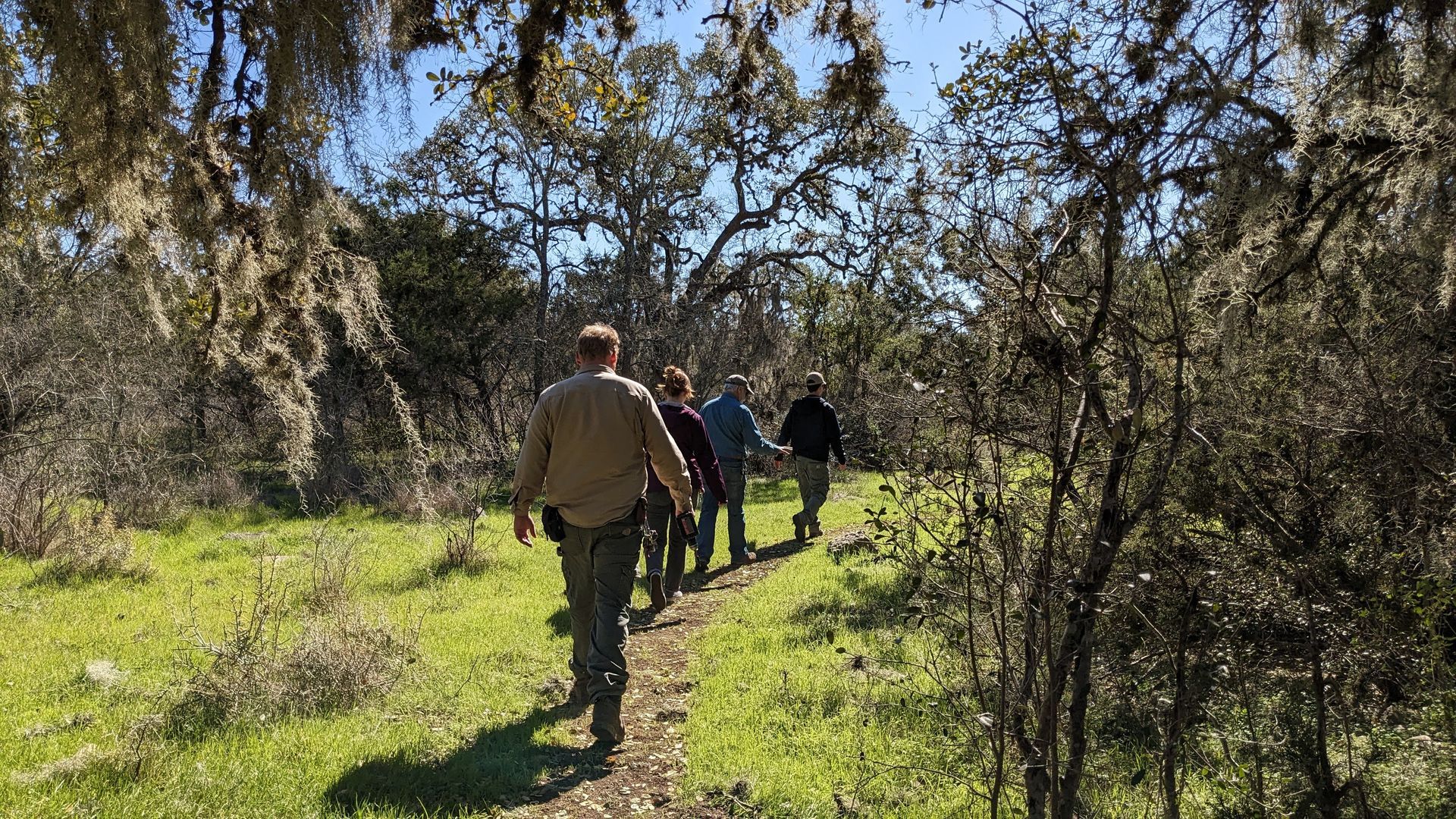
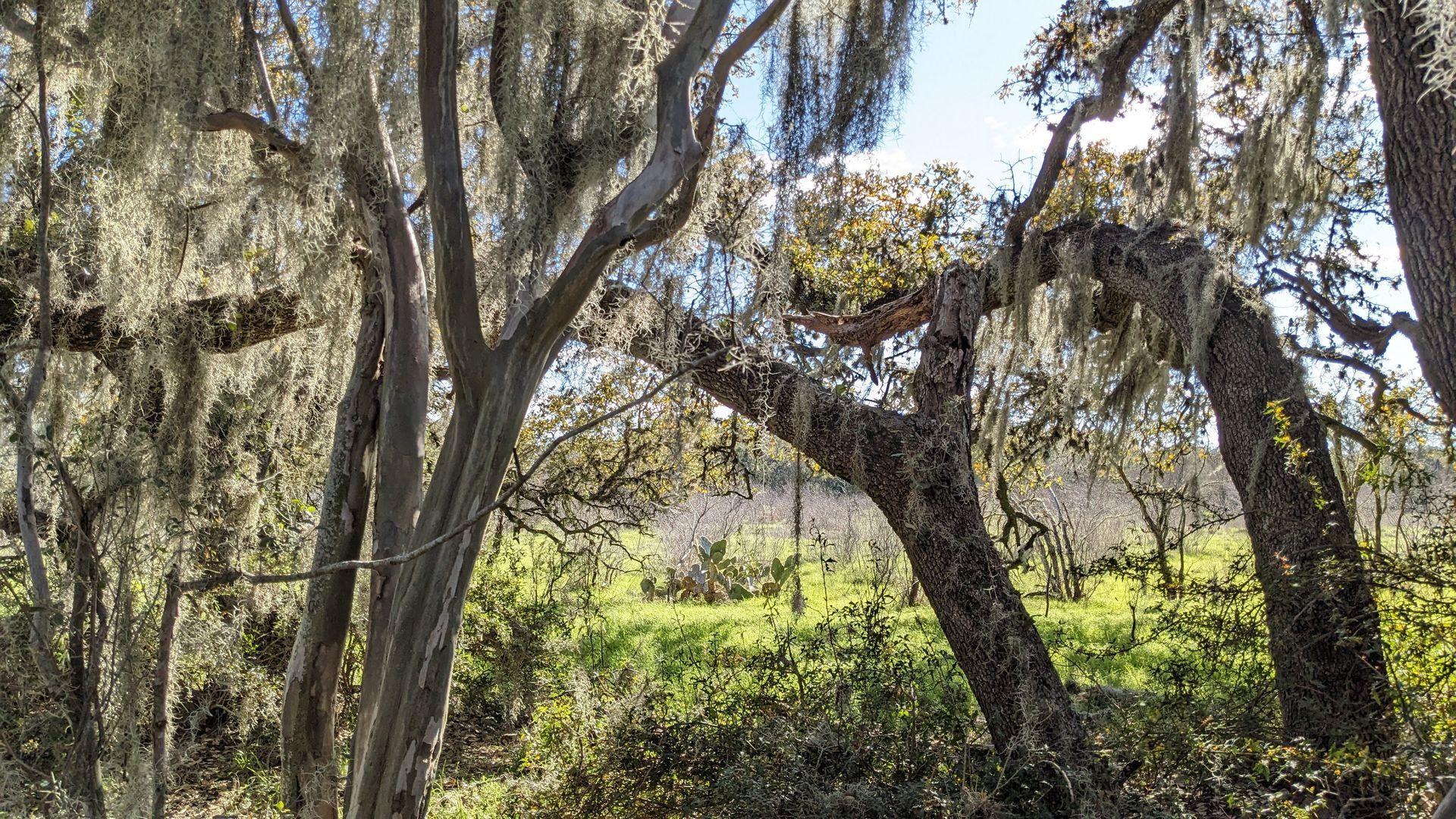
Limestone Link is a 102-acre tract of land that sits within the Edward's Aquifer Recharge Zone. This project is a long-awaited collaborative effort between Hays County, The Great Springs Project, San Marcos River Foundation, and the San Marcos Greenbelt Alliance. The 1-mile long trail forms a critical link along the San Marcos Greenbelt, connecting River Recharge Natural Area to Ringtail Ridge Natural Area. As you hike along this trail, you'll wind through open meadows filled with native cacti and wildflowers, as well as woodlands that drip with Spanish Moss. We hope you enjoy!
Please note there are no restrooms or running water at this trailhead.
Directions & Maps
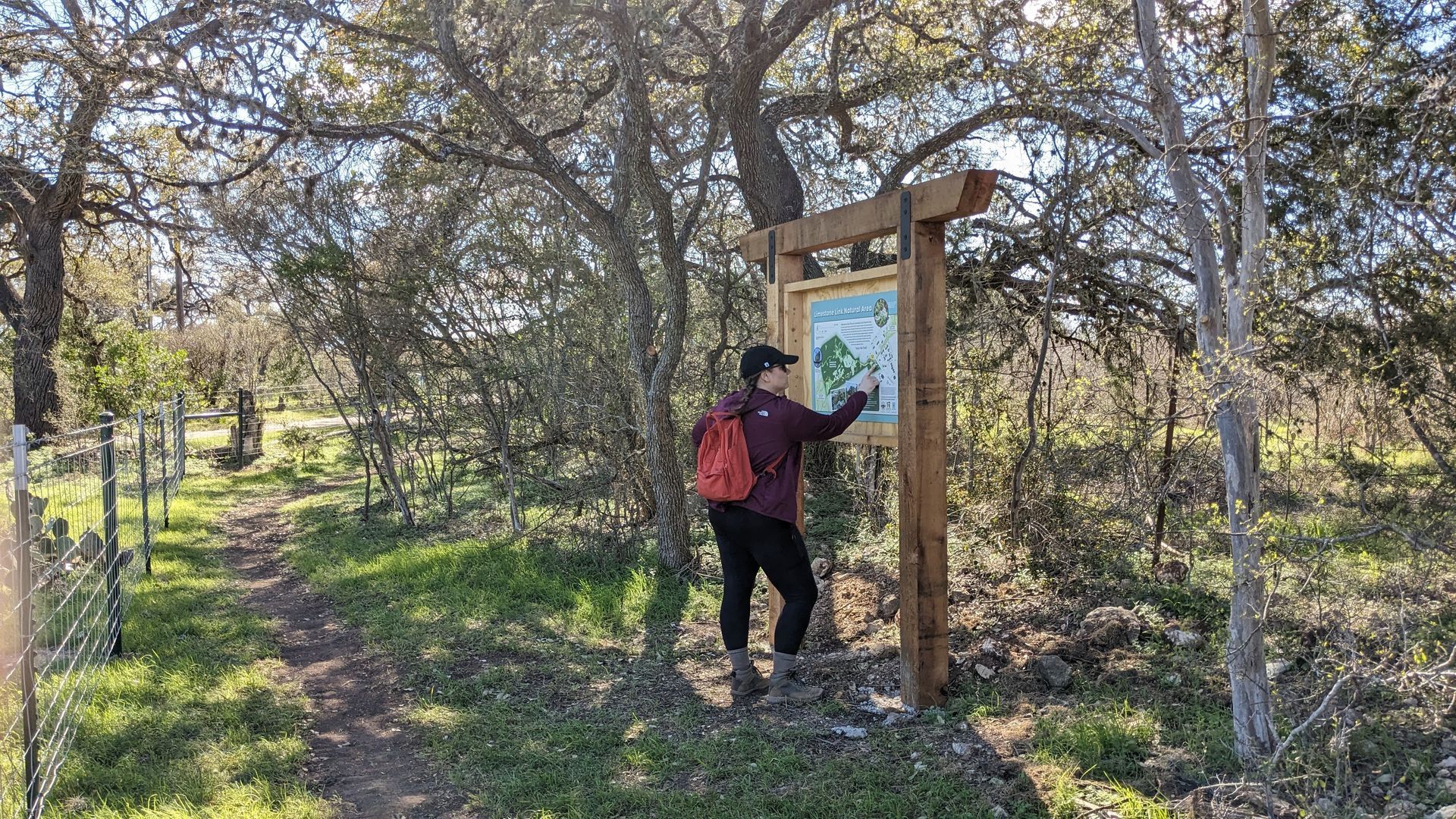
The easiest way to enter this trail is by hiking in from the River Recharge Natural Area trailhead at 2060 Lisa Ln, San Marcos, TX.
Hours
Limestone Link is open to the public daily from dawn to dusk.
Rules
- Take only photos, leave only footprints
- Park is open dawn to dusk
- Keep dogs on a leash and remove their waste
- Campfires, glass containers, motor vehicles, weapons, horses, and camping are not permitted
- Stay on established trails on public property
- Bicycles yield to hikers, refrain from biking on muddy trails
Amenities
Hiking, Biking, Birding
Contact Us
Phone: (512)-214-4593
Email: parks@hayscountytx.gov